The importance of informatics applications that make our lives easier was once again understood in the earthquake disaster.
Pointing out that information applications are used before and after natural disasters such as earthquakes, experts point out that, as in the last Kahramanmaraş earthquake, non-governmental organizations reached the scene based on the information shared by people through channels such as Twitter.
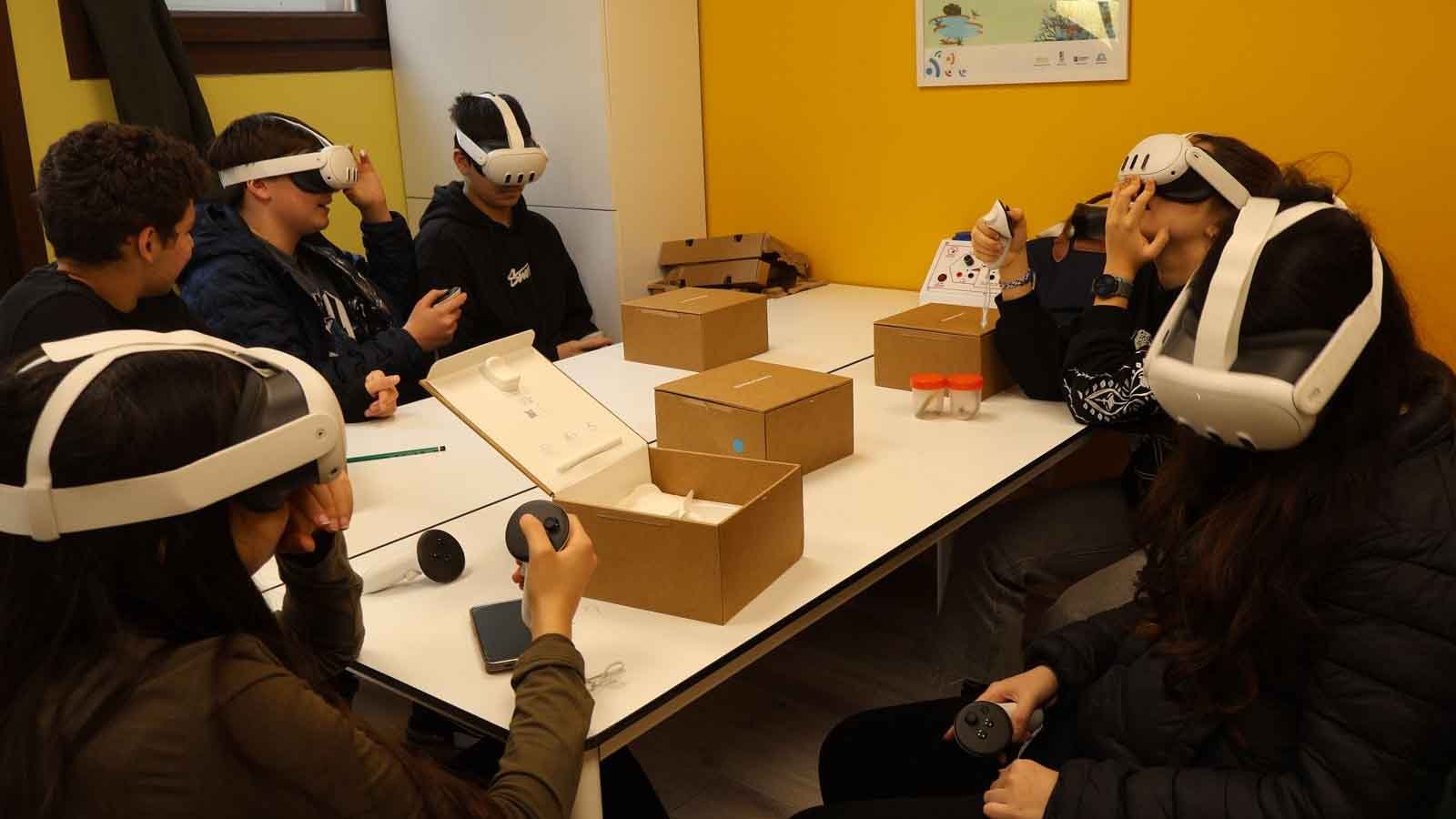
Stating that smartphones are one of the most important tools that complement early warning systems, experts also pointed out the importance of UAVs in location and damage detection. Experts emphasize that virtual simulations can be used in the disaster preparedness process, and education can be provided with scenarios very close to reality in a metaverse environment by using virtual simulations.
Üsküdar University Faculty of Engineering and Natural Sciences Computer Engineering (English) Research Assistant Gamze Nilsu Çolak made an evaluation on informatics applications, the importance of which is understood once again, especially in natural disasters.
All kinds of disaster processes and strategies should be planned in advance.
Gamze Nilsu Çolak, who stated that there are stages of formation and development when experienced and possible crises are considered as a process, said, “If the necessary crisis management cannot be done, precautions are not taken and risks are not reduced during the formation phase, the crisis will be referred to the development stage. For example, when responding to disasters, a lack of coordination may arise as many national and international organizations and even citizens try to take action at the same time with all their good intentions. Previous disaster experiences have shown that the preparation, plans and strategy of all kinds of disaster processes should be determined in advance. All scenarios can be prepared and processed before the crisis by making use of artificial intelligence while making these preparations. Possible action plans are created against these scenarios.” said.
Virtual simulations can be used in disaster preparedness
Noting that virtual simulations can be used in the disaster preparedness process, Gamze Nilsu Çolak said, “Personnel and volunteers who are actively interested in existing systems can be trained with very realistic scenarios in a metaverse environment by using virtual simulations. Management in times of crisis is possible with a successful communication process. Especially in times of crisis such as earthquakes, where seconds are effective in human life, the most accurate form of information should be conveyed to aid organizations and the masses as quickly as possible. This is achieved with technology and informatics applications that provide solutions to many problems.” he said.
Information shared on social media provided important data
Research Assistant Gamze Nilsu Çolak stated that in addition to the applications specially developed for disasters, information can be shared via social media through the creation of an emergency information system called crowdsourcing. Çolak said, “As in the Kahramanmaraş earthquake that affected 11 provinces, non-governmental organizations are sent to the scene based on the information shared by people through channels such as Twitter. Not only at the time of the disaster, but also before the disaster, informatics applications and social media are used in matters such as increasing the awareness of the society against disaster risks. said.
Technology can also play a role in crisis prevention
Noting that human risks have been added to natural disasters recently, Research Assistant Gamze Nilsu Çolak said, “Factors such as global warming, rapid and unplanned urbanization, and environmental pollution put humanity at greater risk day by day. Technology is involved not only in crisis situations, but also in predicting and even preventing these crises or being prepared for the worst scenario. We can say that there are roles that technology can take in disaster management. For example, thanks to the models made with the data collected by sensors, mobile internet and the internet of things (IoT), threats can be detected in advance and measures can be taken with modeling systems. For example, thanks to sensors, countries such as Australia, Indonesia and France can monitor seismic movements in the seas and provide early detection of outliers and tsunamis.” he said.
“Information flow” is vital in search and rescue
Noting that the first thing technology can do during the crisis is the flow of information regarding search and rescue efforts, Çolak said, “Thanks to social media applications such as Facebook, Twitter and WhatsApp, teams are directed to areas that need assistance in real time. Likewise, relief efforts were coordinated thanks to 20 million tweets about the disaster in Hurricane Sandy, which occurred and progressed in the Caribbean in 2012.” said
Mobile apps can make life easier
Gamze Nilsu Çolak, stating that some mobile applications that are easily downloaded to mobile phones can make life easier in times of crisis, said, “These low-cost applications provide people with the information they need and provide tips for disaster prevention and survival. Centers for Disease Control & Prevention (CDC), My Hurricane Tracker, QuakeFeed are some of them. Another application, called OneEvent, can monitor conditions such as temperature and humidity in the space and notify situations such as fire and flooding in advance.” said.
Smartphones complement early warning systems
Noting that smartphones are the most important tools that complement early warning systems today, Çolak said:
“Smartphones are one of the most important tools that complement early warning systems, and with the latest technology, they can reach everyone in the region in a very short time and show the exact coordinates of the crime scene and escape points through applications, with the help of geographic information systems. Some mobile applications, on the other hand, provide the opportunity to communicate with people in the immediate vicinity using only Bluetooth or Wi-Fi, when the internet and networks suddenly collapse during an earthquake. For example, the Signal Offline application delivers messages such as text, images, and audio to users around Wi-Fi without being connected to a local network. Bridgefy, on the other hand, pairs your device with one of the other devices in its range via Bluetooth. The more people join the network, the more it grows and enables messaging.”
UAVs helped locate and damage location
Gamze Nilsu Çolak, stating that another technology used in locating disaster victims who need help in search and rescue efforts and determining damage to buildings is unmanned aerial vehicles (UAV), said, “The buildings and roads in the aerial images are made by making inferences with artificial intelligence and machine learning, and the maps are faster. can be created. In addition to saving dozens of lives in many disasters in the past with drone technology, Google is also conducting a study on sending aid materials to disaster areas with UAVs.” said.
Çolak also noted that open source portable telecommunication towers have been developed for telecommunication networks that have become unusable due to damage to the lines or too much demand during disaster management, adding that “These towers can be transported in a portable way and installed where needed in a very short time. Some parts can even be created with a 3D printer at the scene. The formation was tested and successful in Vanuatu, where communication was not available after the volcanic eruption in Australia.” said.
Source: (BYZHA) – Beyaz News Agency